
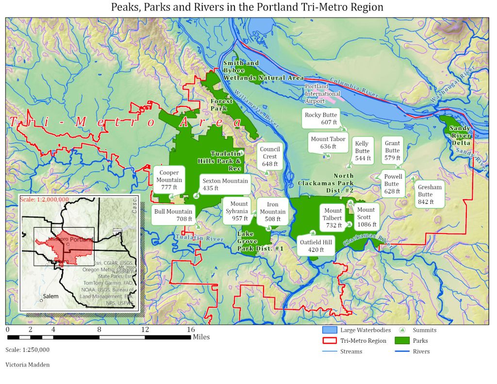
This map was an exercise in extracting, cleaning, and communicating the wealth of information found in geographic data files, including park boundaries and names, summit locations, elevations, and names, and river paths. It was important to display all these different things clearly and without obscuring any names or other information.
This map shows the various major roadways through the area of interest with each type, as classified in the source data, marked and labeled.
Image courtesy of PeakVisor.
